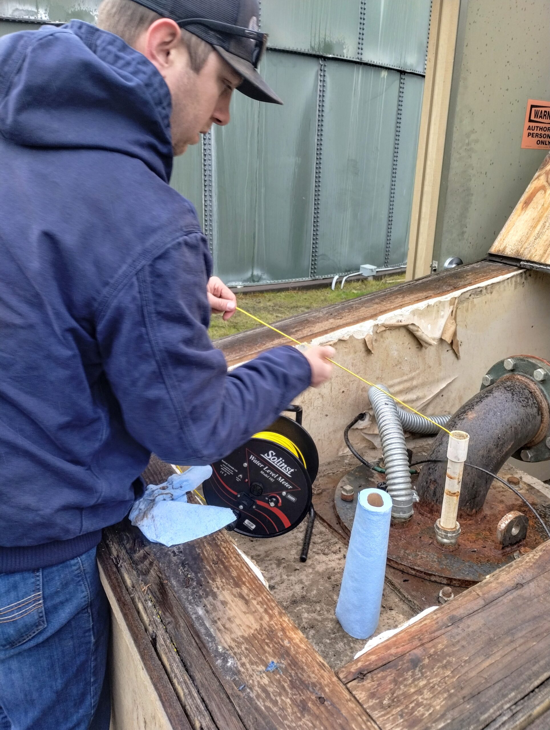
In the water industry, we know the importance of regularly monitoring our wells’ static water levels—a requirement set forth by the Oregon Water Resource Department (OWRD). This practice ensures compliance with water rights and usage permits for those of us in Oregon.

The West Coast is familiar with the challenges of a fluctuating water supply and its subsequent impacts on groundwater levels. However, this issue isn’t always straightforward for certain Oregon water users.
At Oregon Water Utilities (OWU), we operate in central and southern Oregon, regions east of the Cascade Mountain Range. The OWU Cline Butte wells, located northwest of Bend, sit approximately 3,100 feet in the Deschutes Basin. Similarly, OWU Mountain Lakes’ wells are nestled on the western edge of the Klamath Basin at about 4,200 feet. Both areas rely on the Cascades to primarily replenish their groundwater via snowpack and rainfall. Unfortunately, the diminishing precipitation provides little to no recharge as one moves eastward.
Our groundwater travels from the Cascades through interconnected subsurface layers of sedimentary and volcanic rock formations, eventually surfacing in the Deschutes, Crooked, and Metolius Rivers in the Deschutes Basin. In the Klamath Basin, these underground flows emerge at the Wood and Williamson Rivers and supply some direct inflow to upper Klamath Lake.
Both regions have experienced significant changes to their water tables over the past two decades. The Deschutes Basin’s late-’90s population surge has strained groundwater resources, with the Bend-Redmond area witnessing nearly a 31% increase from 2010 to 2022. In the Klamath Basin, stringent 2001 irrigation regulations have led agriculturalists to turn to groundwater pumping—a trend exacerbated by lower-than-annual precipitation.
The most immediately affected water table declines are found furthest from the Cascades, where there is little to no recharge. Over 100 wells in the southern and eastern Deschutes Basin required deepening in the last couple of years due to dropping groundwater levels. Fortunately for us, OWU Cline Butte wells are drilled in the anomalous region of the basin, closer to the Cascade Range, where higher groundwater elevations are found, most likely caused by natural leakage from the Deschutes River.
The story is complex in the Klamath Basin, with wells’ levels varying based on location. In 2021, after years of drought, more than 400 wells needed to be drilled and lowered to access receding groundwater. In contrast, OWU Mountain Lakes’ static water levels maintained or rose slightly in the same year and the following year.
Now, we’re potentially seeing the turn of a decadal dry cycle. The last two winters have brought heavy winter snowpack to the Cascades and increased rainfall—more than this area has seen in years. Nonetheless, our late March measurements at OWU Mountain Lakes showed a decrease in groundwater levels by six inches to two-and-a-half feet. Despite this year’s minimal decline, I’m optimistic. With a clear understanding of our regional groundwater flow, I anticipate the benefits of recent precipitation on our aquifers will materialize in the next year or two.
By Mackay Burcher, Operations Manager, Oregon Water Utilities
